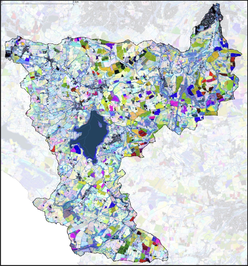
The Chew Valley as a Hydrological Unit
The Chew Valley is literally that – the valley of the River Chew. It is a natural hydrological unit with a distinct boundary. The River Chew rises near Chewton Mendip up on the Mendip Hills and flows towards the north and then north east to meet the River Avon at Keynsham. Given the chance, a bucket of water spilt anywhere within the valley will eventually drain to the single outlet on the Avon at Keynsham (top right). The valley is characterised by a mixed farming environment with productive areas of both arable and pasture. The landscape is characterful with rolling hills and some steep slopes. Most of the valley is either within the greenbelt or the Mendip Hills Area of Outstanding Natural Beauty.

Finding Space for Woodland
We can define a broad set of criteria for land where we think woodland might be created – opportunity woodland. We need a logical way of doing this that preserves what we value most and which replaces what we won’t miss (too much) and value least.
We can’t get away from the fact that creating areas of woodland displaces something else. We can’t create woodland and keep everything the same. Given a suitable set of criteria we can use a geographic information system (GIS) to work out whether places of woodland opportunity exist and where they are. The methodology for doing this is described on the Finding Space for Woodlands page.
Grasslands
The scheme here for identifying places to create woodland identifies marginal land that is not protected and which is grass rather than arable land. Known important grassland areas are excluding including good quality semi-improved grasslands, which may have some biodiversity value. However, our knowledge of the quality of grasslands is limited and it is important to check through either local knowledge or a field survey on the biodiversity value of permanent grassland before creating woodland.
Finding Landowners
To double woodland cover in the Chew Valley people have to plant trees, or land has to be given the opportunity to regenerate tree cover naturally. The people who are going to enable this to happen are the land owners, big and small. Land owners are naturally concerned with their own land and may not spend much time thinking about it within the broader landscape (although some do!). To implement the woodland opportunity maps on this web site and to get the full benefits of it needs some joined up thinking. Therefore there has to be a conversation with and between land owners.
It is not always obvious who owns a piece of land and community based groups Chew Valley Plants Trees has been exploring ways to do this and to start local conversations about tree planting and landscape. A tool to help do this has been to create parish maps of exactly where the possibilities are and what the options might be in terms of woodland and also agroforestry.
Assessing Agroforestry Potential
In addition to woodland, trees can be introduced into both arable and pasture areas using Agroforestry. This is an extensive open canopy system spread out across a landscape rather than concentrating the trees all in one place. It is difficult to explicitly map these areas but we can say something about the density of trees that might be introduced into arable and pasture landscapes. The potential role of agroforestry in the Chew Valley landscape is explored further on the Finding Space for Agroforestry pages.
Finding Land for Small Woods and Hedgerows
The often quoted figures for woodland cover in the UK and England of 13% and 10% cover respectively, do not include the small woods less than 0.5 hectares or the individual trees in fields or standards in hedgerows, or the hedgerows themselves – all of which are important. These are what may come to mind when we think about trees and woodland but they are separate entities to ‘Woodland’. What is more we don’t really know very well how many there are or where they are. So a first step is mapping them to find out what we have got.