How can new woodlands be planned across the Chew Valley in a joined up way that makes sense in terms of what is already there and which avoids displacing things of high value such as arable food production, biodiverse grasslands and protected habitats and species?
Our methodology is quite simple. Land is considered opportunity-woodland if it is all of the following:
- on moderate or poor quality agricultural land, Grades 3b, 4 or 5 including on steep slopes
- not on peat soils
- not on biodiverse grassland
- not arable land use
- not existing woodland
- not protected
Putting these criteria together in a geographic information system identifies those areas where they are satisfied and where woodland creation may be appropriately considered. The map shows existing woodland in green and opportunity woodland in dark red.

You can read the details of the different criteria in the Chew Valley on related pages:
- Agricultural Land Classification
- Arable Land
- Grassland
- Protected Areas
- Opportunity Woodland
- Agroforestry
Winding Back the Woodland Clock
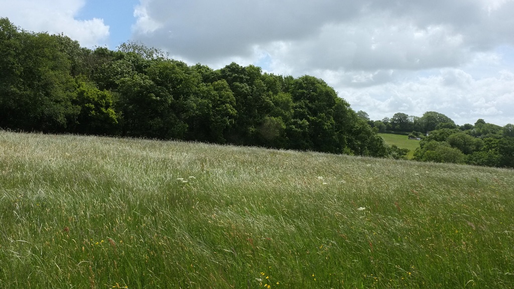
The Chew Valley has an ancient history to which the standing stones at Stanton Drew are testament. As the landscape was cleared for agriculture woodlands were pushed to the more marginal corners of the valley where it was more difficult to cultivate crops. The remaining patches of ancient woodland in the valley tend to be in exactly such places, on the steep hill sides away from the valley floor. The methodology can be seen as a partial reversal of this process as it fills in the gaps between the remaining ancient woodland and turns the landscape clock back to a time when woodland was more prevalent. The ancient woodland in this picture is on a parish boundary that may have existed for 1500 years, since Roman times. The distant trees lie along a Roman road.
Other Considerations
Towards the north the Chew Valley is Green Belt land, whilst to the south it is an Area of Outstanding Natural Beauty and part of the Mendip AONB. In this scheme neither of these are considered here as limitations for woodland creation, trees are both green and beautiful.