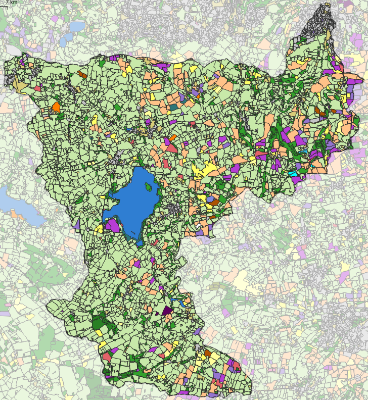
The ALC map shows where the good and bad quality land is but it doesn’t indicate where arable and grasslands are actually located. Over time arable land is quite stable but it changes from year to year with the crop rotation. Arable production doesn’t necessarily stick to the higher grades of the ALC and arable can be found in some less appropriate locations.
We have used Sentinel-2 satellite imagery to map land cover in the Chew Valley and have also used the Rural Payments Agency Crop Maps of England (CROME) for the years 2016, 2017, 2018 & 2019 to work out where arable land and persistent and temporary grasslands are. Temporary grasslands are part of the arable crop cycle and are not considered for opportunity woodland.
The UK is not self-sufficient in food and it doesn’t make sense to replace arable land with trees. Arable land is therefore strictly excluded from our woodland opportunity map.